
Digitool RentTrack gives car rental operators complete freedom to inspect vehicles on-site, verify customer IDs, confirm bookings, and track payments on the go — no computer or office desk required.
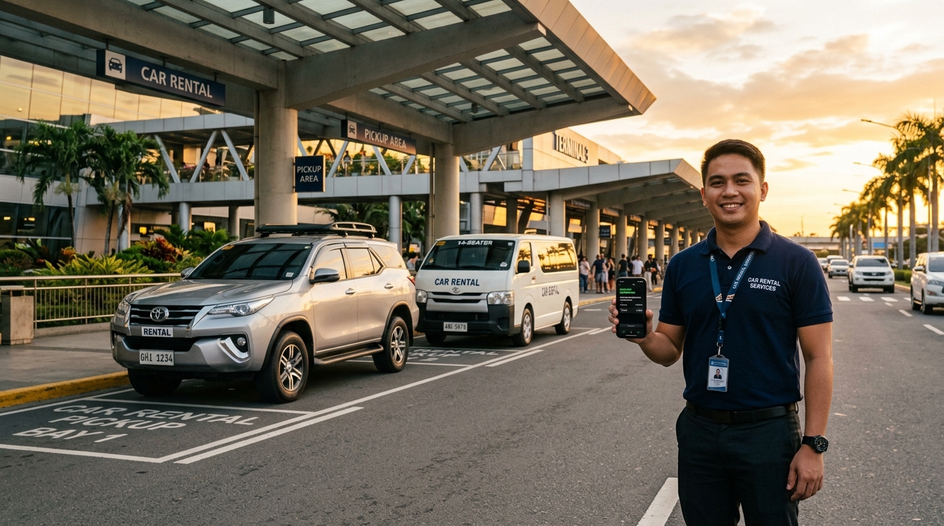
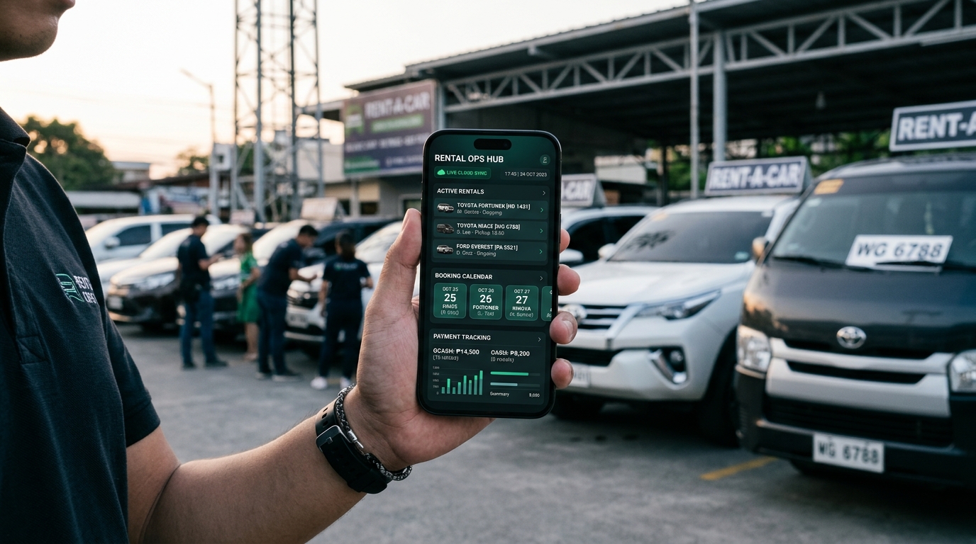
Ditch clipboards and paper checklists. Log odometer readings, fuel gauge levels, timestamped vehicle condition photos, and verify customer valid ID credentials directly on your phone before handing over the keys.


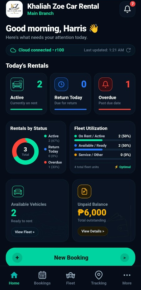
Designed from the ground up for convenience. Releasing vehicles at the airport, meeting clients at hotel lobbies, or checking earnings from home — manage your entire fleet anytime directly from your smartphone.

Help shape the 2026 fleet operations standard & share your rental challenges. Your feedback directly guides digital vehicle inspection releases, booking workflows, customer identity protection, and security deposit handling across the Philippines.
Manage reservations, schedule collision guards, and avoid double-booking.
Real-time vehicle status tracking: Available, Rented, Maintenance, or Standby.
Secure valid ID storage and driver verification to prevent unauthorized multi-rentals.
Record GCash/cash downpayments, remaining rental balances, and held security deposits.
Log odometer, fuel levels, and timestamped condition photos before release and after return.
Track total revenues collected, fleet utilization rates, and export transaction ledgers to CSV.
Dedicated shop reservation link to post on Facebook & Messenger so customers book 24/7 directly.
Receive instant loud sound notifications on your mobile phone the second a customer submits a booking.
Automated tracking for vehicle PMS mileage maintenance, annual LTO renewals, and insurance.
Cloud-powered architecture designed specifically for smartphone convenience. Keep your vehicle availability, customer ID vaults, payment balances, and condition evidence secure and accessible right in your pocket.
Digitool RentTrack's live production platform currently focuses 100% on core operational fleet workflows — paperless vehicle condition checklists, digital customer ID verification vaults, and binding rental contracts. Live hardware GPS telematics and remote fleet tracking are part of our Future Technology Roadmap planned for Target 2027, guided by ongoing feasibility research and direct feedback from Philippine car rental operators.
Technology preview demonstrating planned 2027 GPS telematics and boundary tracking concepts
Our strategic research and engineering path toward native device tracking for Philippine car rentals.
Digitool RentTrack currently focuses 100% on operational software: digital release/return condition evidence, customer ID vaults, and booking management. Live hardware GPS telemetry is our Phase 2 development goal planned for 2027, guided by ongoing feasibility research with local fleet operators.
Paperless vehicle release and return checklists, timestamped damage photos, fuel/odometer tracking, customer ID storage, and cloud multi-device sync.
Integration with affordable, device-agnostic GPS trackers (OBD-II & hardwired 12V), cellular cloud sync, and low-latency tracking protocols.
Proactive theft defense, programmable mainland boundary geofences, automated speed alerts, remote battery health monitoring, and historic trip playback.
Are you a rental operator? Answer our 2026 Feasibility Survey to tell us which GPS hardware and tracker features matter most to your fleet.
Structured Rental Lifecycle
RentTrack enforces a reliable step-by-step procedure so no evidence or payment is ever overlooked.
Select vehicle, schedule dates, customer details, daily rate, and initial downpayment.
Upload renter valid ID, capture release photos, fuel level, and starting odometer reading.
Vehicle status switches to RENTED. Easily extend schedule or manage customer notes.
Check return condition, collect remaining balance, and record held security deposit return.
Digitool RentTrack is an operations and fleet management platform built under Digitool Solution, dedicated to empowering car, van, and motorcycle rental operators across the Philippines.

"Digitool RentTrack stands as the flagship digital platform of Digitool Solution, shaped directly by close observation of daily car, van, and motorcycle rental operations across Puerto Princesa and Palawan.
The system is deliberately designed to be effortlessly user-friendly for everyone — no technical expertise or computer background required. Everything is streamlined and kept practical, enabling operators, owners, and rental staff to manage reservations, secure inspection evidence, and track payments straight from a smartphone on day one."
Based in Puerto Princesa City, Digitool RentTrack provides hands-on local onboarding, complimentary setup assistance, and continuous feature refinements directly tailored to the real-world operational needs of Philippine vehicle rental businesses.
To provide Philippine car and van rental businesses with an intuitive, mobile-first operations system that protects assets, captures indisputable release/return condition evidence, secures valid IDs, and simplifies financial settlements.
To become the premier operational operating system and telemetry tracking standard for the Philippine vehicle rental industry — bridging technology, hardware IoT GPS, and accessible software for independent and commercial fleet operators nationwide.
Affordable Plans for Growing Fleet Operators
No hidden fees, no complicated setup. Start evaluating with pilot access.
Designed for rental shop owners who want to evaluate the platform in their actual daily operations.
Our full-scale commercial tier for growing fleet operators. Pricing will be announced soon — join the early-access waitlist for priority onboarding.
Official Operations & Technical Support
Reach out directly to the operations and developer team for onboarding, setup, and questions.